

Aerial View

View towards the Main Square
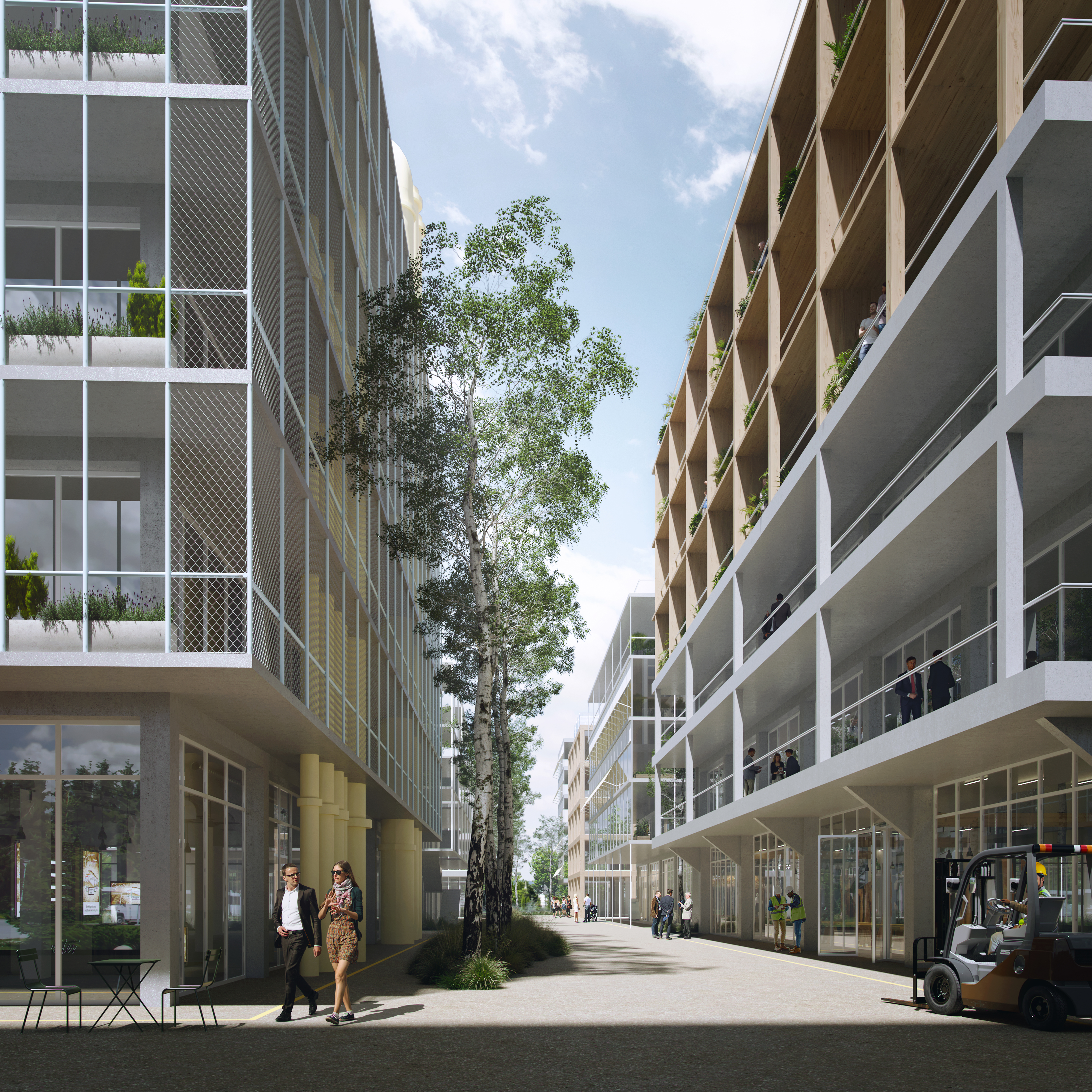
Inside the high density neighborhood
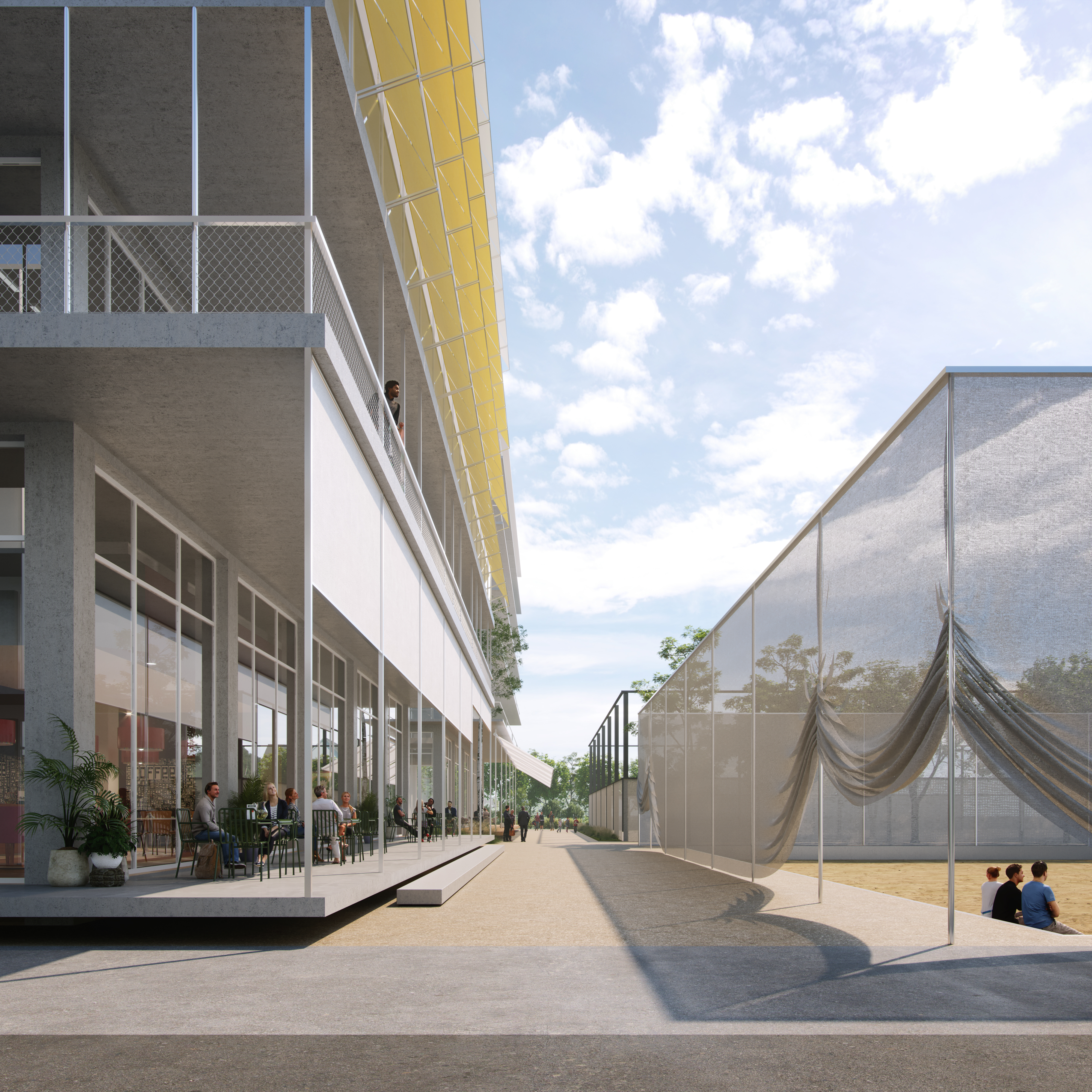
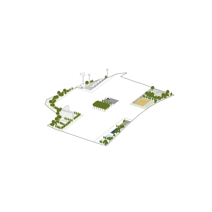
View towards the Recreational Area


WIN
Size: 5.8 ha
Function:
Urban Neighbourhood
Type: Competition Entry
Year: 2021
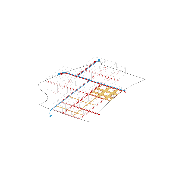
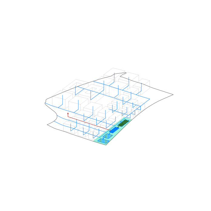
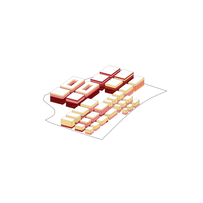
With the help of the IBA'27, the city authorities are planning to create a high-density neighbourhood on a site near the Winnenden railway station that combines commerce and housing in a high-quality and space-saving way.
In a hierarchical-contextual strategy, the diversity of the surroundings is moulded into a unique urban space. The centre is kept free, the periphery is filled with a variety of different offers, thus interlocking the planning area with its surroundings.
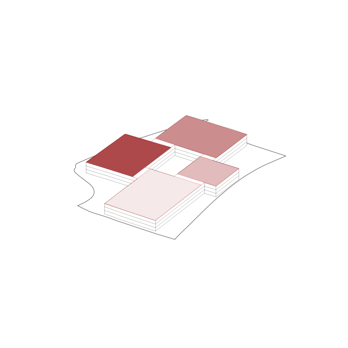
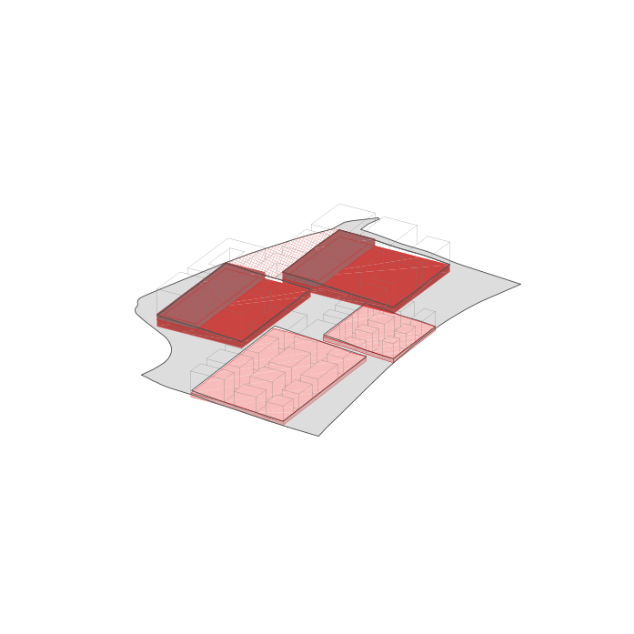
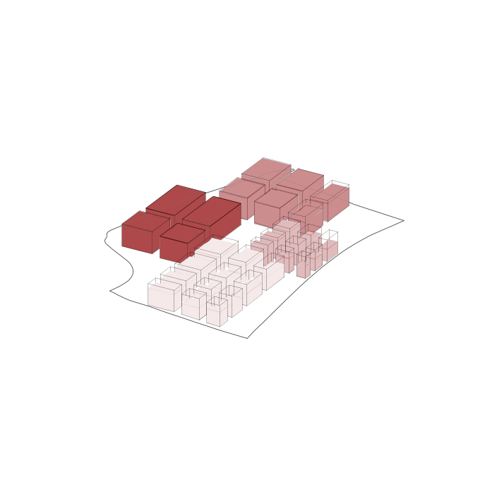
Building plots of different sizes are created, the grain of which is constantly refined from north-east to south-west.
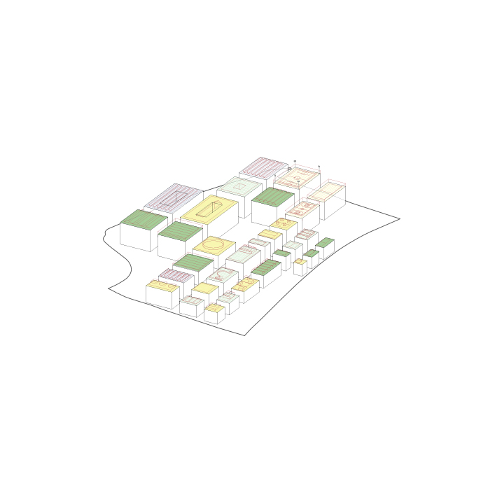
This balance between hierarchy and flexibility is played out in four neighbourhoods, each with a different usability and legibility.
To ensure the diversity of possible uses, all programmes are represented in different proportions in each neighbourhood. All neighbourhoods are multifunctional.
Team XSXL:
Michelle Chasseur, Jessica Friedrich, Jonas Lauinger, Gerd Wetzel
←back